Select Page

EXPLORE THE SOLUTION

Powered by our proprietary software and experienced marine analysts, iBlueHarbor provides you with useful, easy-to-read assessments designed to address common challenges faced by ports. The result is safer and significantly more efficient operations.

ASSESSMENT TYPES
VESSEL CLEARANCE

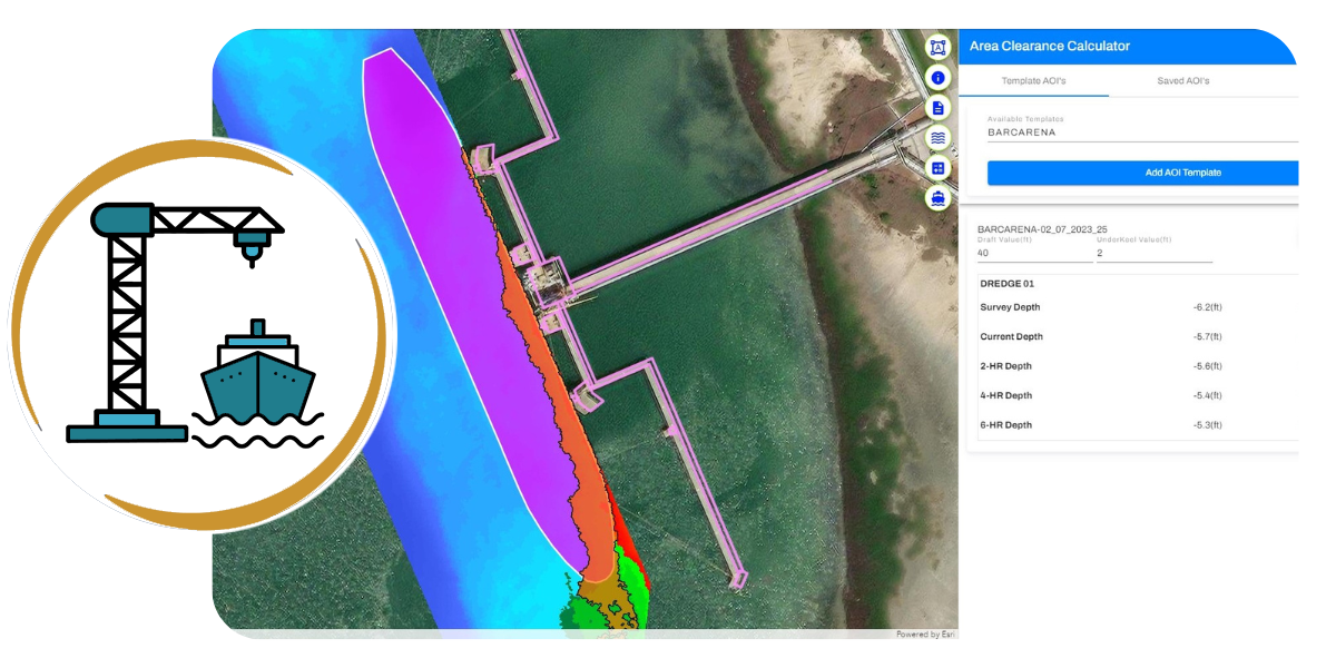
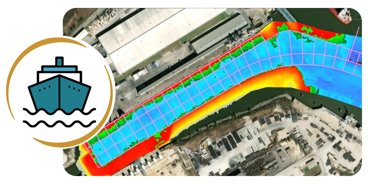
iBlueHarbor calculates and highlights under-keel clearance for a vessel through a specific area, such as a dock, channel, or turning basin. Under-keel clearance is shown relative to the survey depth (MLLW) or using current and predicted water levels. Vessel dimensions are either representative or actual, depending on the information available. New vessels and marine areas can be added quickly to assess position and draft issues.

VESSEL LOADING

iBlueHarbor calculates the maximum safe drafts to which vessels may be loaded without encountering conflicts with the area bottom, and incorporates current and predicted water levels to adjust loading draft as applicable. Calculations and resultant analyses can be conducted at multiple draft levels.

SHOAL RATES

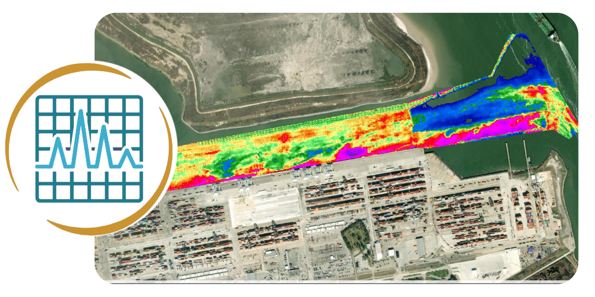
Comparing the data between the current and earlier survey(s), iBlueHarbor calculates the difference and displays the result as a heat map. Shoaling (and scouring) rates are reported and displayed in feet per year. Quarterly comparisons may not consider season-specific shoaling phenomena, necessitating comparisons of annual survey data. The shoaling rate can be used to plan for future minimum depth at the dock and maintenance dredging.

DREDGE VOLUME

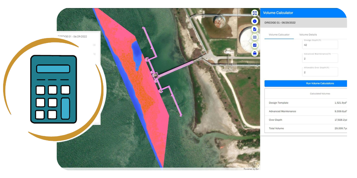
iBlueHarbor calculates the volume of material to be dredged down to design dredge depth, advanced maintenance depth, and allowable overdepth, and maps the calculated area. The volume of material to be dredged is critical information for port and marine facility owners seeking to procure dredging services.